(English) Bundles Enable Organizations to Analyze Imagery in Minutes Instead of Hours

Din păcate acest articol este disponibil doar în Engleză Americană. For the sake of viewer convenience, the content is shown below in the alternative language. You may click the link to switch the active language. Esri, the global leader in spatial analytics, today introduced four image platform bundles that enable management and analytics of all Citește mai mult despre(English) Bundles Enable Organizations to Analyze Imagery in Minutes Instead of Hours[…]

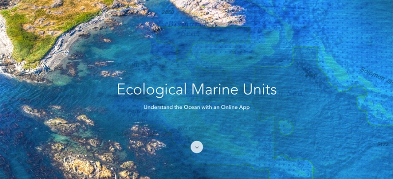
(English) Understand the Ocean with a New Way to Measure Marine Environments

Din păcate acest articol este disponibil doar în Engleză Americană. For the sake of viewer convenience, the content is shown below in the alternative language. You may click the link to switch the active language. Esri, the world leader in smart mapping technology, announced a whole new way of measuring the ocean on September 15, Citește mai mult despre(English) Understand the Ocean with a New Way to Measure Marine Environments[…]

(English) Esri Releases Drone2Map for ArcGIS

Din păcate acest articol este disponibil doar în Engleză Americană. For the sake of viewer convenience, the content is shown below in the alternative language. You may click the link to switch the active language. Drone2Map for ArcGIS, released today by Esri, turns raw still imagery from drones into professional 2D and 3D imagery products. Citește mai mult despre(English) Esri Releases Drone2Map for ArcGIS[…]