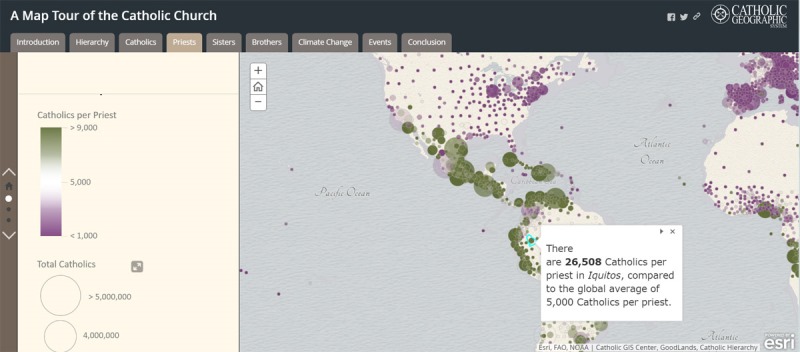
First Global Map of the Catholic Church
Global smart-mapping leader Esri today announced that the GoodLands project team has partnered with Esri to create a digital map portal of the Catholic Church’s global landholdings. The project uses geographic information system (GIS) technology from Esri to inspire the world’s 1.2 billion Catholics to take a more ecological approach toward managing church land. GoodLands Read more about First Global Map of the Catholic Church[…]
